Innovation in Focus: Earth Observation
April 22, 2025
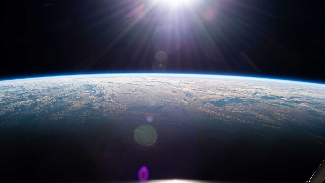
The first grainy black and white photo of Earth was taken from space in 1946, marking the beginning of a new era. Clearly, as more recent color photos with exquisite detail show, Earth observation has come a long way since then! Almost like peeling back the layers of an onion, photos taken from space continue to reveal more and more about our beautiful blue planet. The International Space Station (ISSInternational Space Station) has returned more than 3.5 million striking images of Earth since it was launched in November 2000, pointing a lens at everything from city lights to cloud patterns and volcanoes and lakes. Scientists use these images – taken from a bird’s eye view above the Earth’s surface – to study our land, oceans, atmosphere, climate, light pollution, and natural disasters, and even to support agriculture and manage resources. In some ways, these photos reveal more about our planet than we could learn with our feet on the ground. Let’s take a look at some of these astounding and awe-inspiring images.
First Photo of Earth Taken from Space
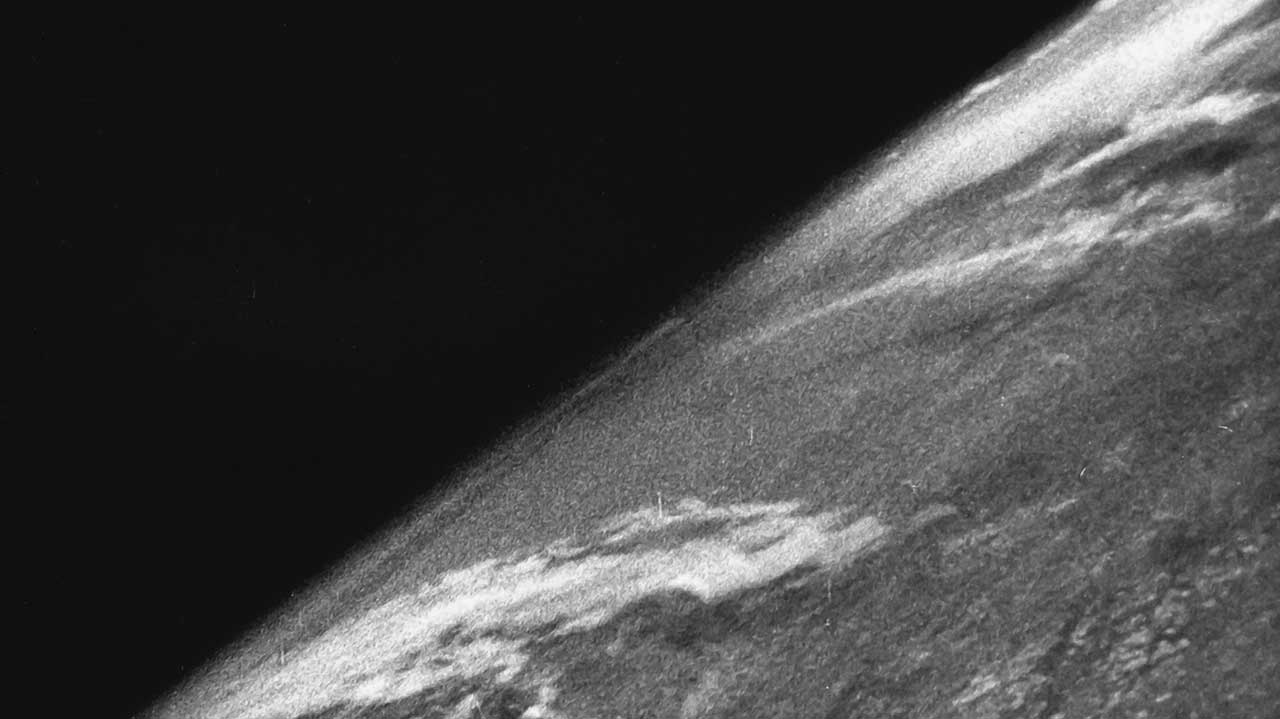
Media Credit: White Sands Missile Range/Applied Physics Laboratory
On October 24, 1946, scientists and soldiers in the New Mexico desert launched a rocket carrying a motion picture camera. The camera soon dropped back to Earth and was destroyed on impact, but the film survived, giving us the first photograph of our planet taken from space. It definitely put our place in the universe into perspective!
Apollo 8 “Earthrise” Image
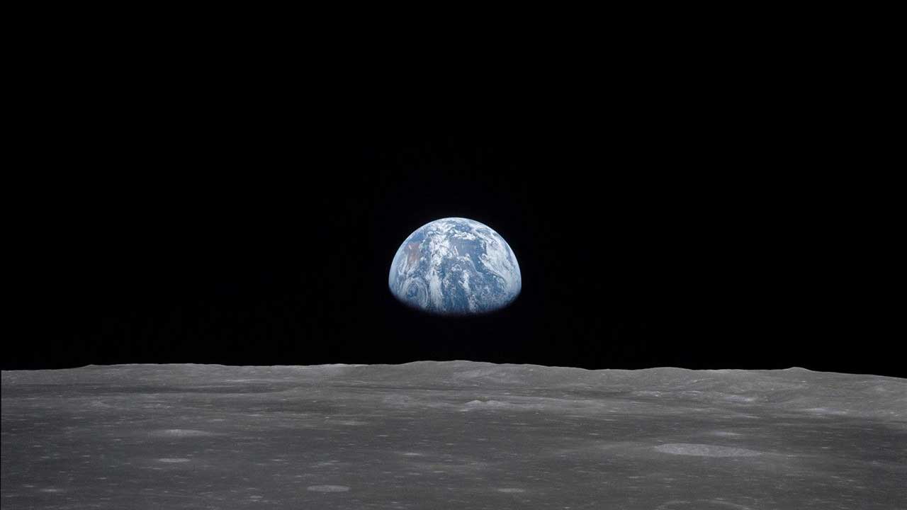
Media Credit: NASANational Aeronautics and Space Administration
In December 1968, the first crew to orbit the moon snapped this iconic photo, showing our colorful blue and white planet rising above the drab gray lunar surface. Images of Earth taken from the ISS are being used to monitor environmental conditions, benefit life on our planet, and more.
Nightlights
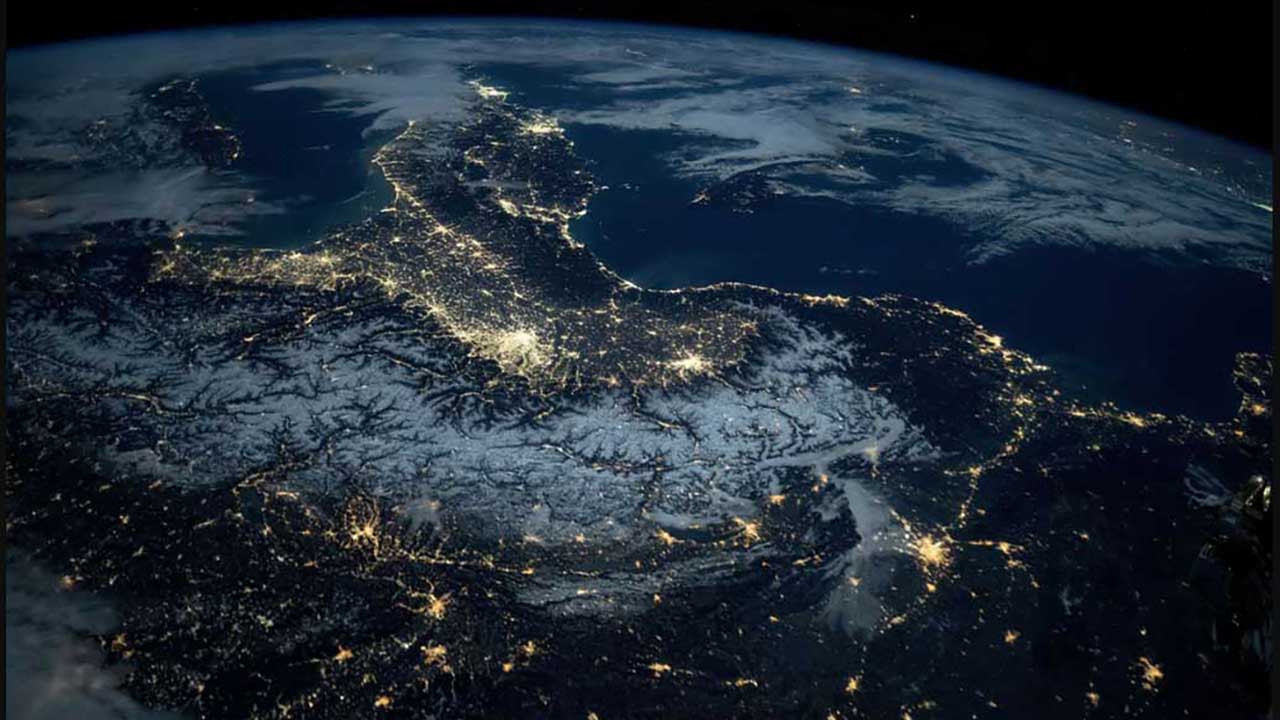
Media Credit: NASA
This image taken from the ISS shows vibrant night lights illuminating Central Europe, the Alps, Italy, and the Mediterranean Sea. Speaking of light, a project onboard the ISS helped to successfully test a new ultraviolet detector system in the harsh conditions of space, where radiation is unfiltered.
Dragon Tail or Body of Water?
Media Credit: NASA
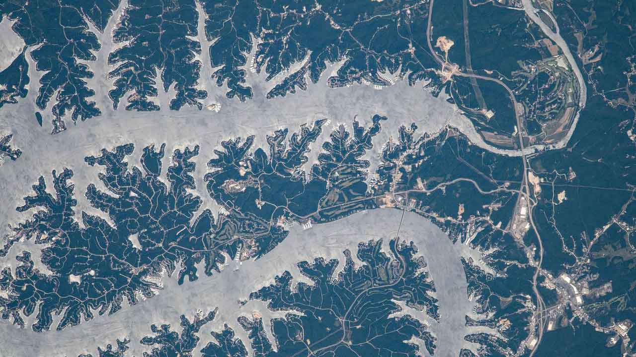
It’s hard to tell what this is given the unique perspective, but it’s the Lake of the Ozarks in Missouri, photographed from the ISS as it orbited 261 miles above the Midwestern United States. The ISS orbits closer to Earth than most satellites, which makes it ideal for observing both Earth and space. Remote sensing instruments on the ISS provide imagery and data that are of great value to scientists.
What’s Blue and Brown with Spots All Over?
Media Credit: Sally Ride EarthKam
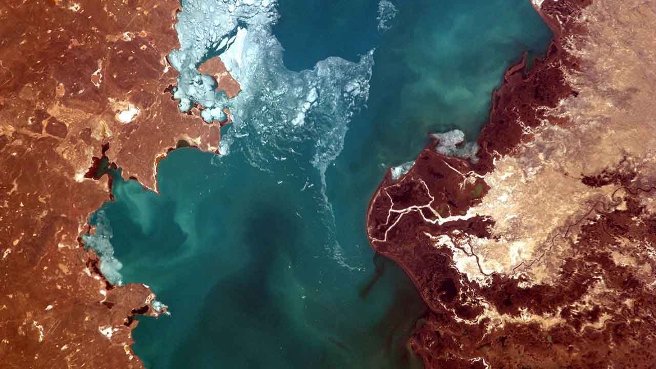
The picture-perfect blue water in this photo is Lake Balkhash in Kazakhstan, one of the largest lakes in Asia and the fifteenth largest in the world. Students are developing a passion for Earth observation and environmental awareness, and even controlling the camera on the ISS, through Sally Ride EarthKam: A Classroom with a View.
We’re Not in Kansas Anymore!
Media Credit: NASA
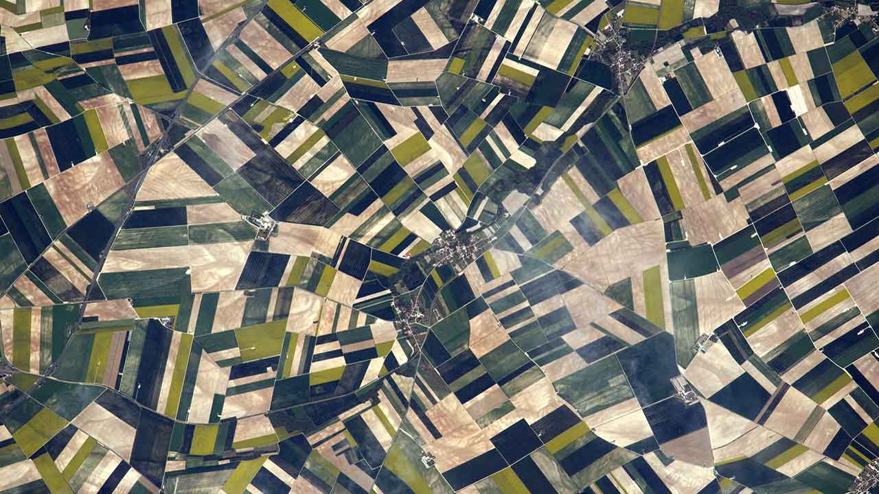
At first glance, you might think this is a microscopic image, but it’s not. These are fields in the Aube Department, near the villages of Herbisse and Villiers-Herbisse in north-central France, where grain and other crops are grown. Farms definitely look different from space. Hyperspectral sensing technology aboard the ISS can detect light beyond what the eye can see.
Why Does Earth Look Like a Big Blue Marble?
Media Credit: NASA
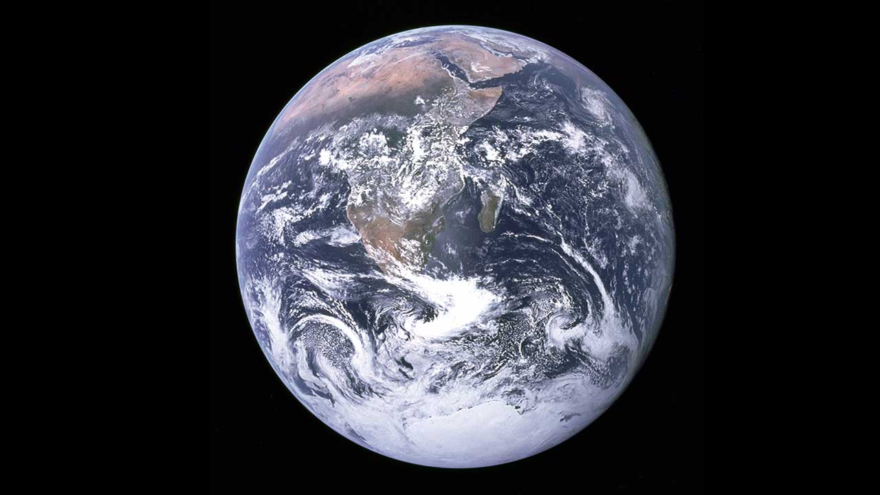
In this stunning image of Earth taken during the Apollo 17 mission back in 1972, our planet looks something like a blue marble, unlike any other in our solar system. That’s because the top layer is mostly ocean, which covers about 71% of the Earth. The ISS provides a powerful platform to observe and study our planet’s oceans.
The Eye of the Storm
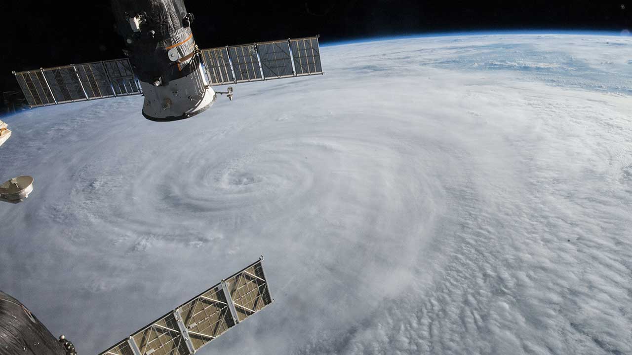
Media Credit: NASA
This photo was taken on August 5, 2015, by an astronaut onboard the ISS, as Typhoon Soudelor approached Taiwan. Hurricanes and typhoons like this one cause widespread destruction and loss of life on Earth. It’s rare for us to see the eye of a storm viewed from space, but scientists are using images like these from the ISS to improve and save lives.
Through the Eyes of Astronauts
“When you look at the Earth from space, you realize that our planet is a beautiful, interconnected system. We are all in this together.”
– Mae Jemison, Space Shuttle NASA astronaut
Visit our Flickr album for high-resolution images to view and download.